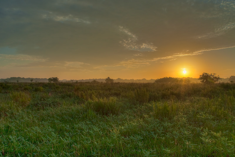
Beyond the low lying bottomlands of the rivers and streams are the prairies, forests, and cultivated uplands of the upper Texas Gulf Coast.
Prairies
The Texas coastal plain was created over millions of years as meandering rivers shifted about the landscape depositing sediment and leaving many relic channels in their wake. This relatively flat clay plain is composed of rich poorly drained soils and is heavily vegetated. The clay plain causes much of the rainfall in the area to flow across the surface of the land and into prairie pothole wetlands and other low lying areas before it reaches the Gulf.
The coastal plain is mostly comprised of tallgrass prairie with post oak savannah intermixed. Isolated pothole wetlands are often found in the mud-filled relic river channels, wind-eroded circular depressions, and in areas where meander ridges impede drainage on the coastal plain. These wetlands filter surface runoff and keep pollution from running into downstream waters.1
Historically, prairie fires, both natural and human-caused, were important to the long term maintenance of prairie land. Due to fire suppression, much of the prairie region is under threat from invasion of non-native tree and shrub species. Additionally, development pressures continue to contribute to prairie loss as more people move into the Houston area.
1 Sipocz A (2005) The Galveston Bay wetland crisis. National Wetlands Newsletter 27: 16-20
Forests
Rising in elevation from the low-lying river bottomlands, we find the upland forests of the upper Texas Gulf Coast. The southern extension of the Piney Woods is an upland forest ecoregion composed of loblolly pine, shortleaf pine and mixed hardwoods including oak and hickory. Longleaf pine once dominated the ridges of the Piney Woods region, though have been mostly lost due to fire suppression and over-harvesting. Today only remnant stands of longleaf pine remain in the Piney Woods region.
In the “Big Thicket” area of the Piney Woods, poorly drained relic river channels contain forested wetland areas called Coastal Flatwoods. Unlike forested wetlands in the bottomlands, these wetlands are replenished almost entirely through surface water runoff. Coastal Flatwoods are usually wet in the winter and early spring and are an important component of the diversity of the “Big Thicket” region.
Uplands
Cultivated cropland, pastureland, and fallow fields intermix with the native prairies, forests, and wetlands to create a diverse matrix of upland on the upper Texas Gulf Coast. Many wildlife species depend on these areas for habitat. Wetlands in these areas are often not protected by Clean Water Act jurisdiction and are vulnerable to development pressure. These wetlands provide many valuable services to our community, such as pollutant filtration, and require extra conservation measures to ensure their continued existence.
